
FORECAST HIGHLIGHTS
FORECAST
Today, we may see isolated rain showers again, similar to what some experienced yesterday afternoon. A weak boundary is moving in from the north, which brings about a 20% chance of rain. So, keep an eye on the sky and be prepared if you’re heading out.
On Wednesday, expect another opportunity for afternoon downpours, combined with temperatures that are above average. Stay hydrated!
Small shot at rain this afternoon (Copyright KSAT-12 2026 – All Rights Reserved)
As a fun fact, fall officially begins today at 7:05 PM! This seasonal change occurs during the fall equinox, when the Earth’s tilt is such that day and night are nearly equal in length. This means you’ll notice the sun rising due east and setting due west.
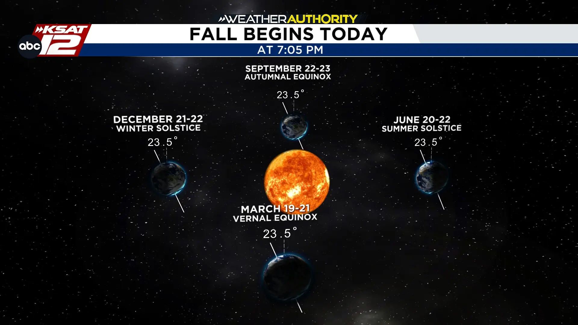 Fall begins today at 7:05 PM (Copyright KSAT-12 2026 – All Rights Reserved)
Looking ahead to next week, things are starting to get interesting! While it’s still early to make any definitive forecasts, weather models suggest a front may be approaching, bringing with it an increased chance of rain. As always, we’ll keep you updated as more data becomes available regarding the timing and strength of the front, as well as how it may interact with Pacific moisture.

