
FORECAST HIGHLIGHTS
FORECAST
RECORD HEAT
As summer draws to a close, the weather is making headlines with record-breaking heat. This past Sunday, temperatures soared to 100°F, tying a record. Today, we can expect similar conditions, with heat indices ranging from 100°F to 103°F. Heat advisories have been issued for areas along and east of I-35. While a stray downpour is a possibility, it remains unlikely given the prevailing high temperatures.
The latest 7 day forecast from Your Weather Authority
(Copyright 2026 by KSAT – All rights reserved.)
STEADILY HOT THIS WEEK
While we can expect a slight decrease in temperatures this week, the heat will continue to be above average. A small chance for showers or storms is on the horizon for Thursday, but those rain chances are currently sitting at just 20%. It’s a good idea to stay hydrated and take breaks in the shade during this hot spell.
RAIN? COOLER WEATHER? FINALLY?!
Looking ahead to the weekend, we may finally see a shift in the weather pattern. A trough is expected to traverse the country, potentially bringing some much-needed rain by Monday. This change could also lead to a slight drop in temperatures. However, meteorologists advise caution until more consistent data emerges from weather models. Stay tuned for updates!
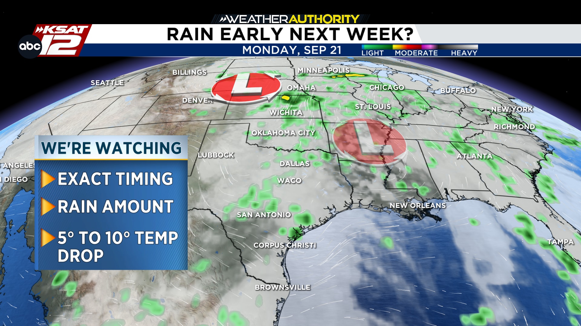
Potential weather pattern change next week
(Copyright 2026 by KSAT – All rights reserved.)
